Hills Nordic Trail Loops on Reibin Rd.
Distance: ~4-5 km (2-3 mi) depending on route
Route type: Multiple loops
Suitable for: XC Skiing
Elevation change: 26 metres up, 26 metres down
Technical difficulty rating:


Navigational difficulty rating:
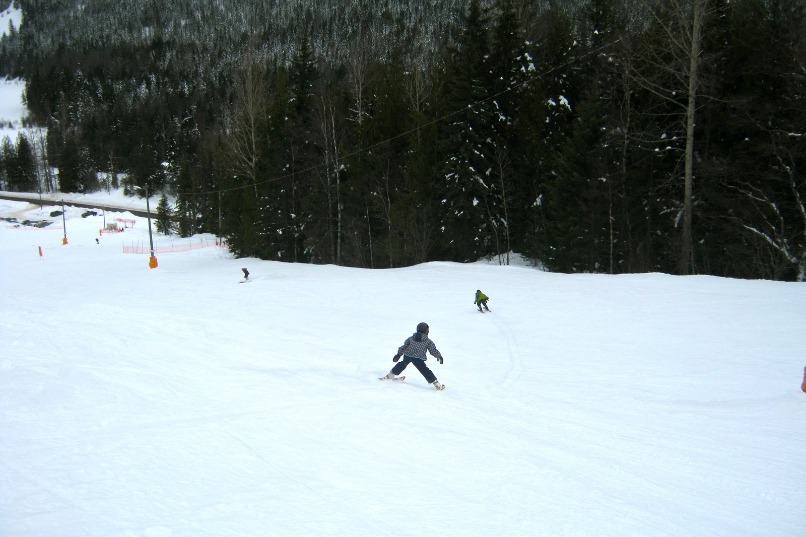
About half the local kids seem to participate in XC ski lessons in the winter. Classes run for about 8 weeks along the groomed trails in Hills. This year there are three different age-groups. The older group trains on the groomed system of trails off Reibin Road.
These trails are a busy network of flat and rolling loops with a few optional technical sections. While a first-timer may have some difficulty navigating the trails, they are so tightly coiled together that it is hard to get lost: within a couple of minutes you'll end up somewhere familiar and find your way to wherever you're hoping to go.
To access the trails, park near the carport halfway along the road above Elvendel Farm. The farm is privately owned by a XC ski family who help maintain the trails and lend skiers access across and within their property. Please be respectful, and mind the goats if they're about!
There is a hand-drawn map of the trail system on a piece of corrugated plastic at the top of the driveway, and trails are usually beautifully groomed. Most are groomed wide enough to allow for skate-skiers.
From the road you can head down, to the left or to the right. Most people start out skiing towards the left. After a short flat section you head gradually downhill and arrive at a flatter four-way cross-roads of trails. Straight ahead will take you to a sunny promontory above the gravel pit where the views are beautiful. A left turn will take you alongside a fence and then to a tiny almost-circular flat loop in a meadow. It's worth exploring the entire network.